Here are some scans of historical maps.
1927
 |
 |
Each sector is about 600K. This is from Rand McNalley's 1927 road atlas and shows routes as they were proposed by the Bureau of Public Roads plan. This map shows some of the changes made between the 1925 and 1927 plans (notably US 60 is now US 66) but also notable is the absence of US 89 south of Flagstaff, using US 280 and US 380 instead. Arizona never posted any of these; it waited until its own highway plan was issued in 1927. Note the swastika on the Arizona marker. This was actually taken from a Native American design. It was removed in the 1940s, after it became associated with the Nazis.
1927 Rand McNalley road atlas
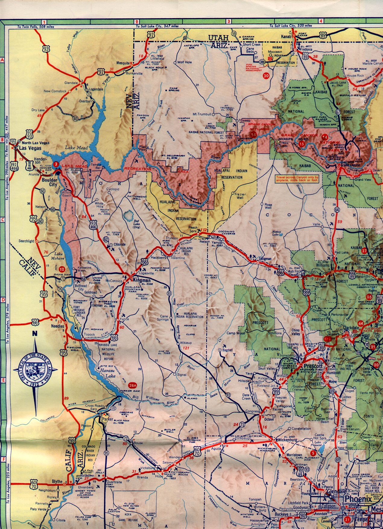
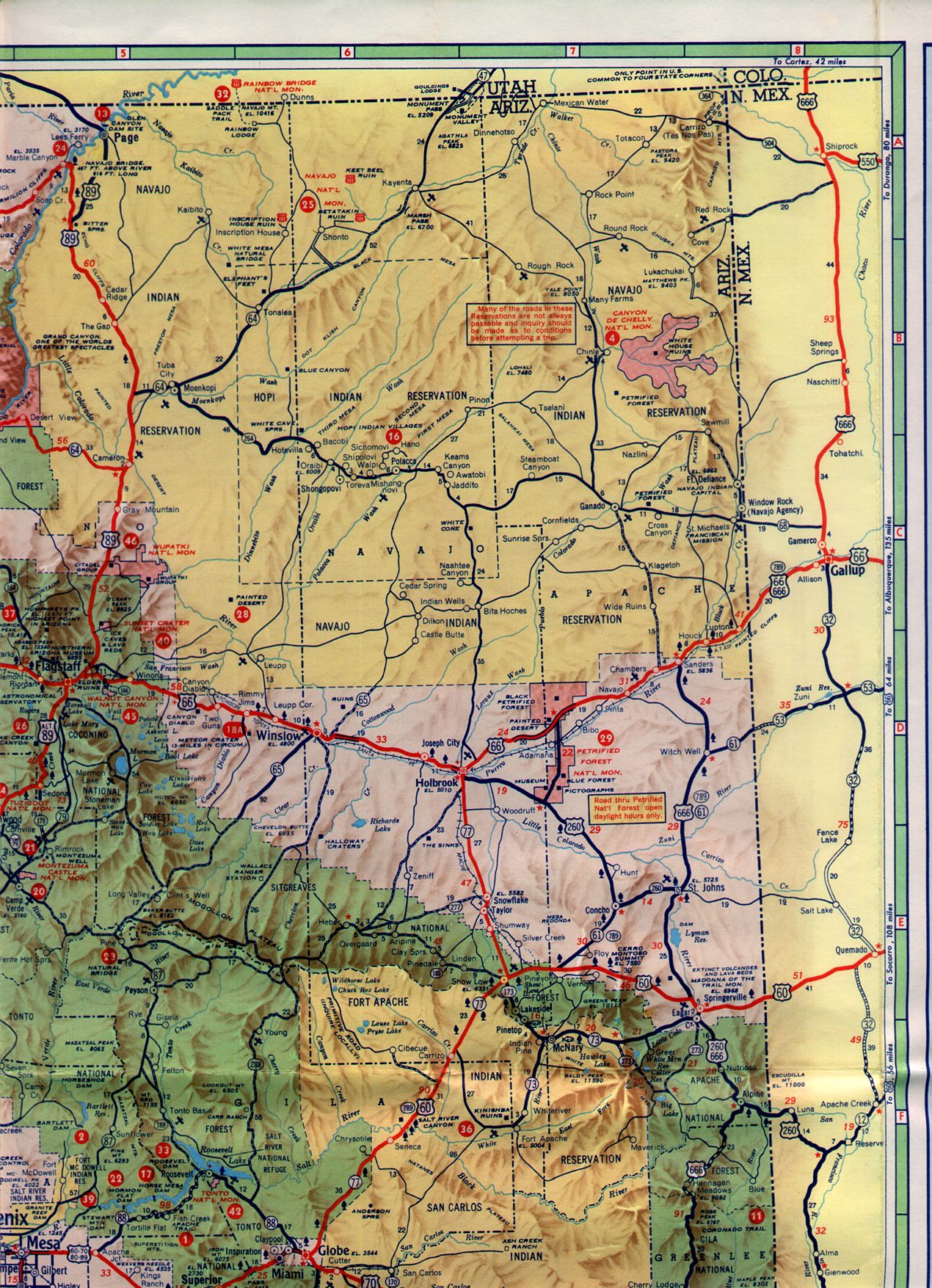
1935
 |
 |
 |
 |
 |
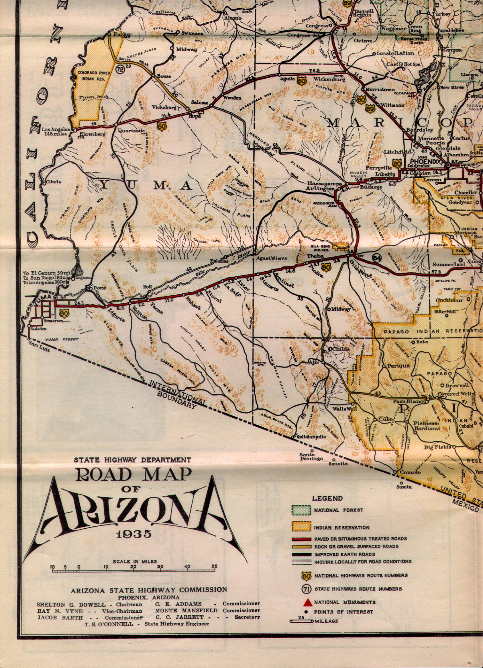
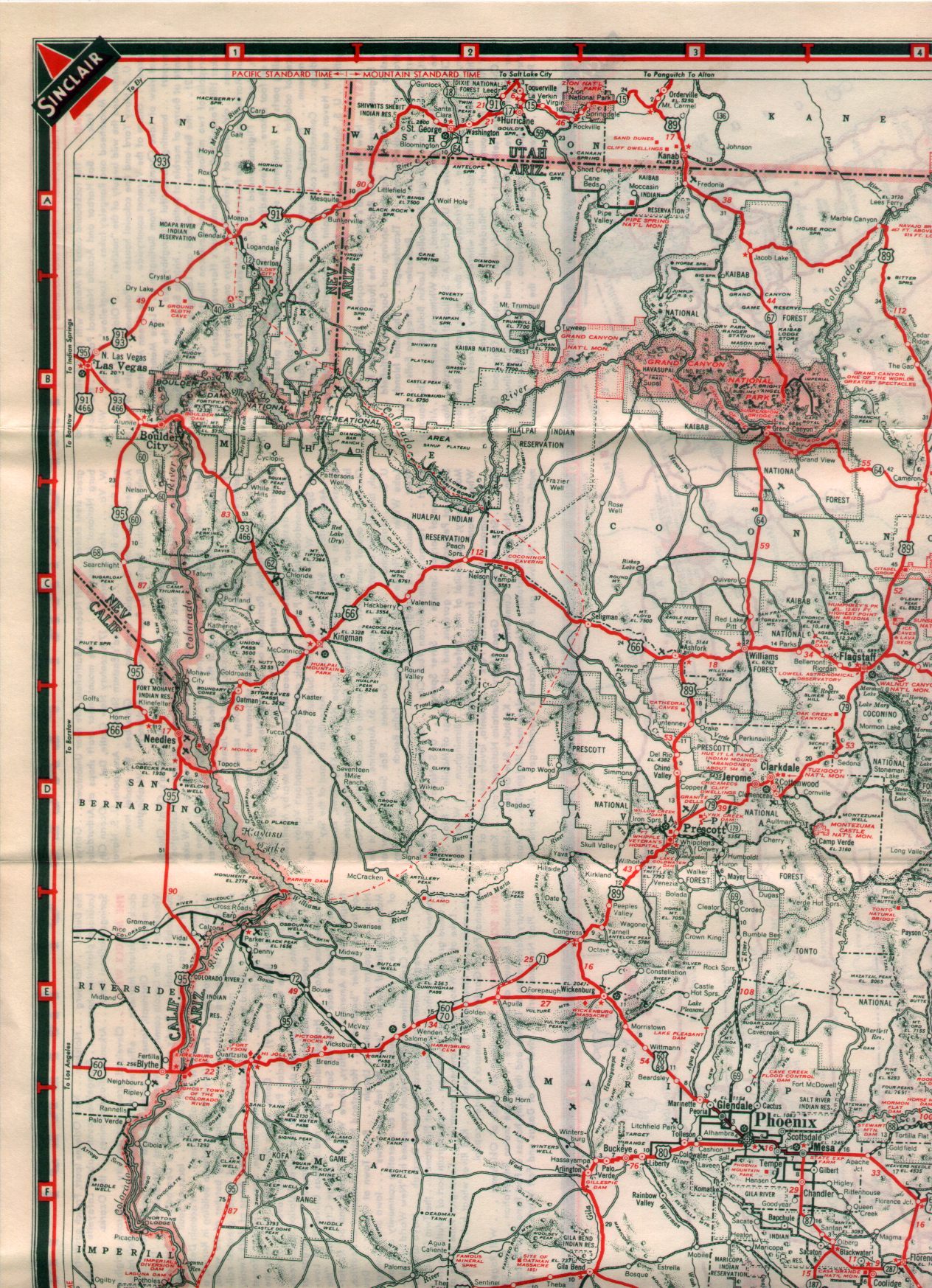
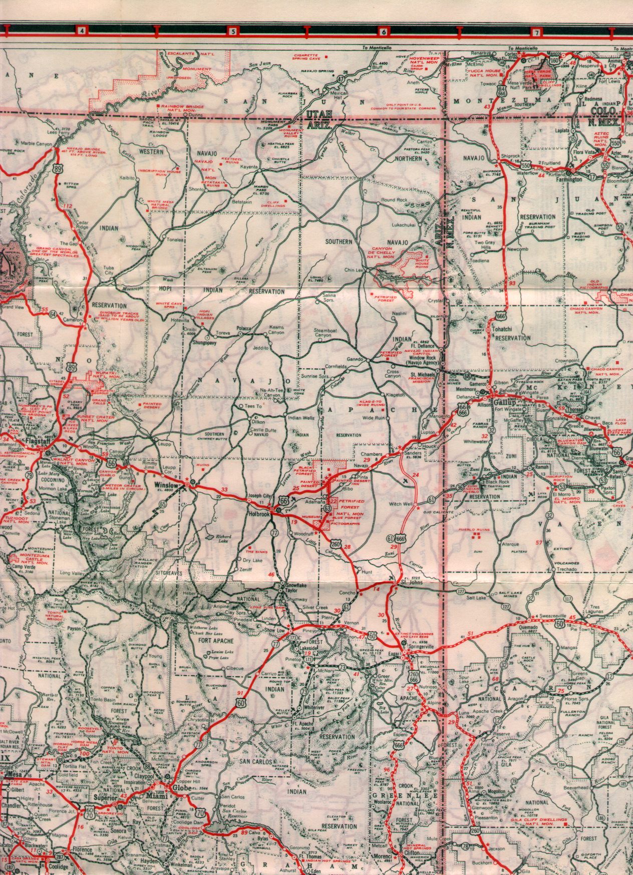
Each sector is about 800K. The real oddity on this map is the road from Kingman to the Boulder Dam site (now Hoover Dam). This was designated AZ 69 until the dam was completed in 1936, when it became US 466. AZ 69 was then moved to the Phoenix-Prescott routing.
US 60 was not complete north of the Salt River Canyon, so AZ 73 was used as TEMP US 60. US 180 had US 70's route.
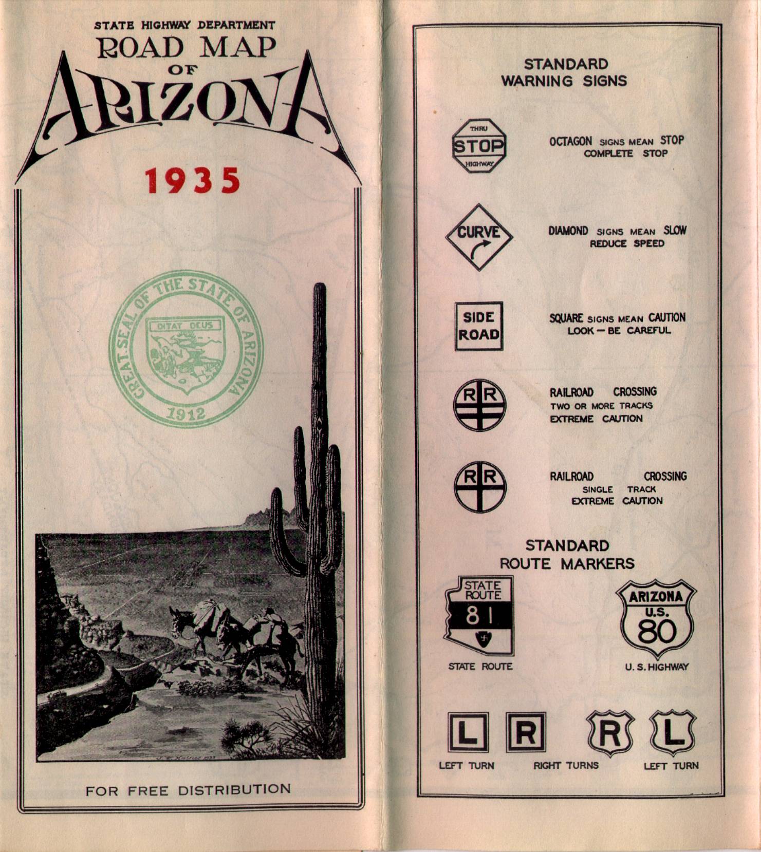
Also note the motorist guide. It shows the early signs in use at the time. The original swastika design marker (taken from a Native American design, not the Nazis) is shown here. Also shown are the {R} and {L} turn indicators. For some reason, it took a few years for someone to think of using an arrow.
1935 Arizona State Highway Department map, by H.M. DeMerse
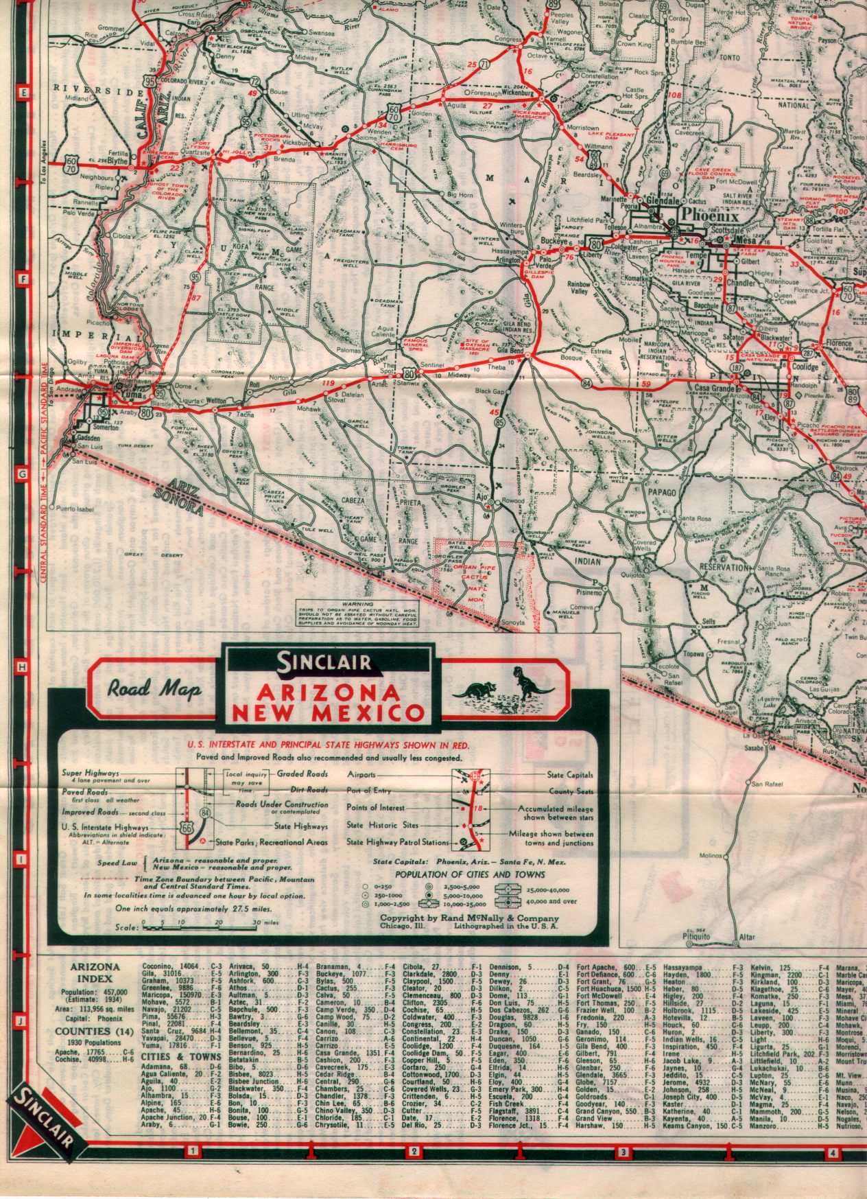
1938
 |
 |
 |
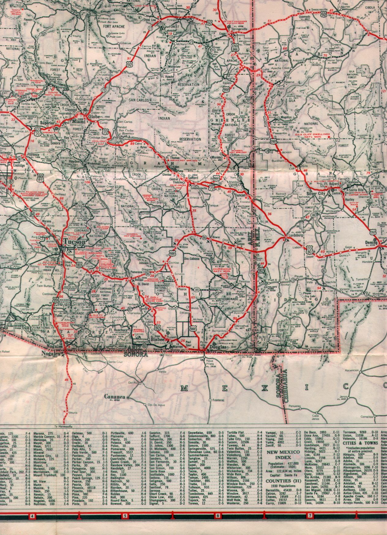 |
Each quarter is about 675K. Note the proposed Escalante National Monument on the Utah border near the present Lake Powell. The Pacific timezone swung east to near Seligman, rather than following the Colorado River.
1938 Sinclair roadmap, by Rand McNally
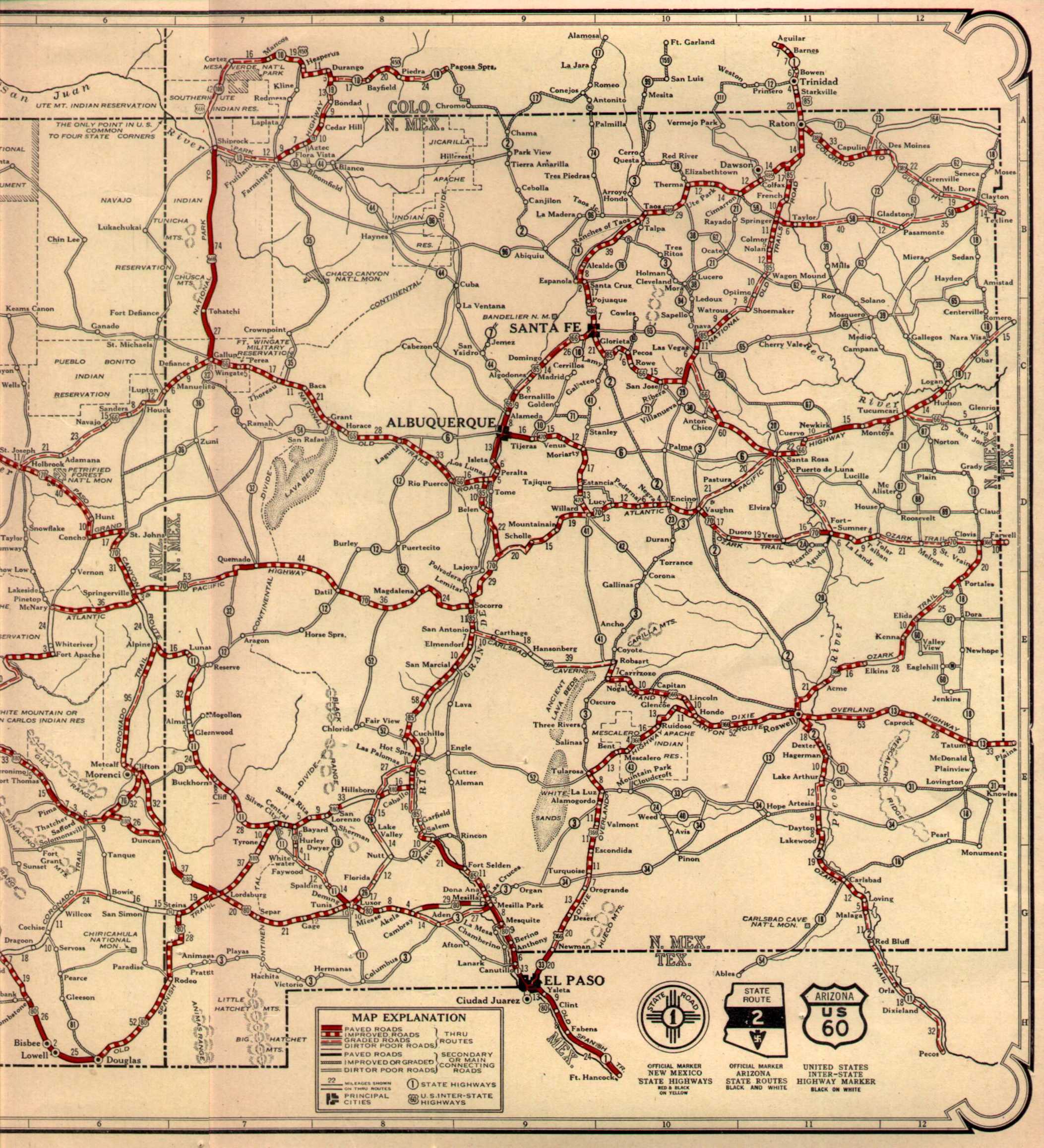
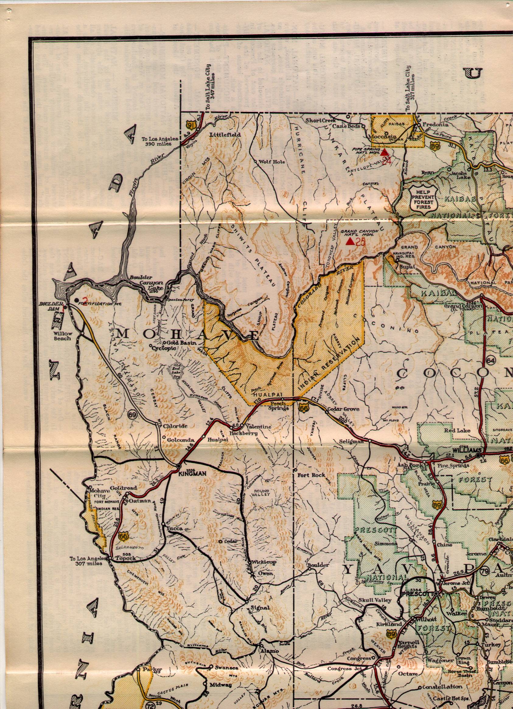
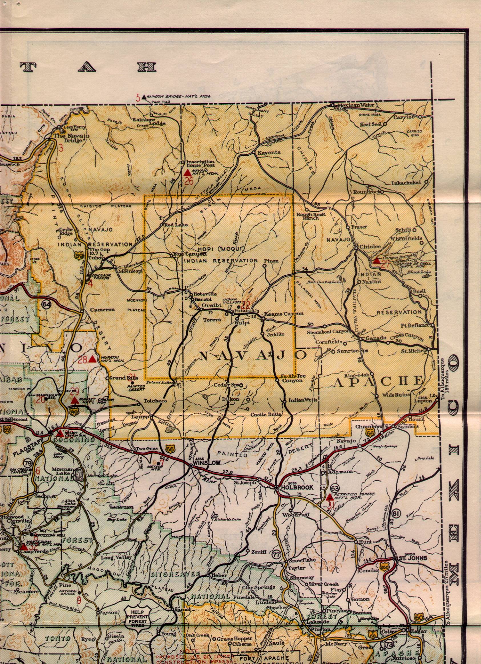
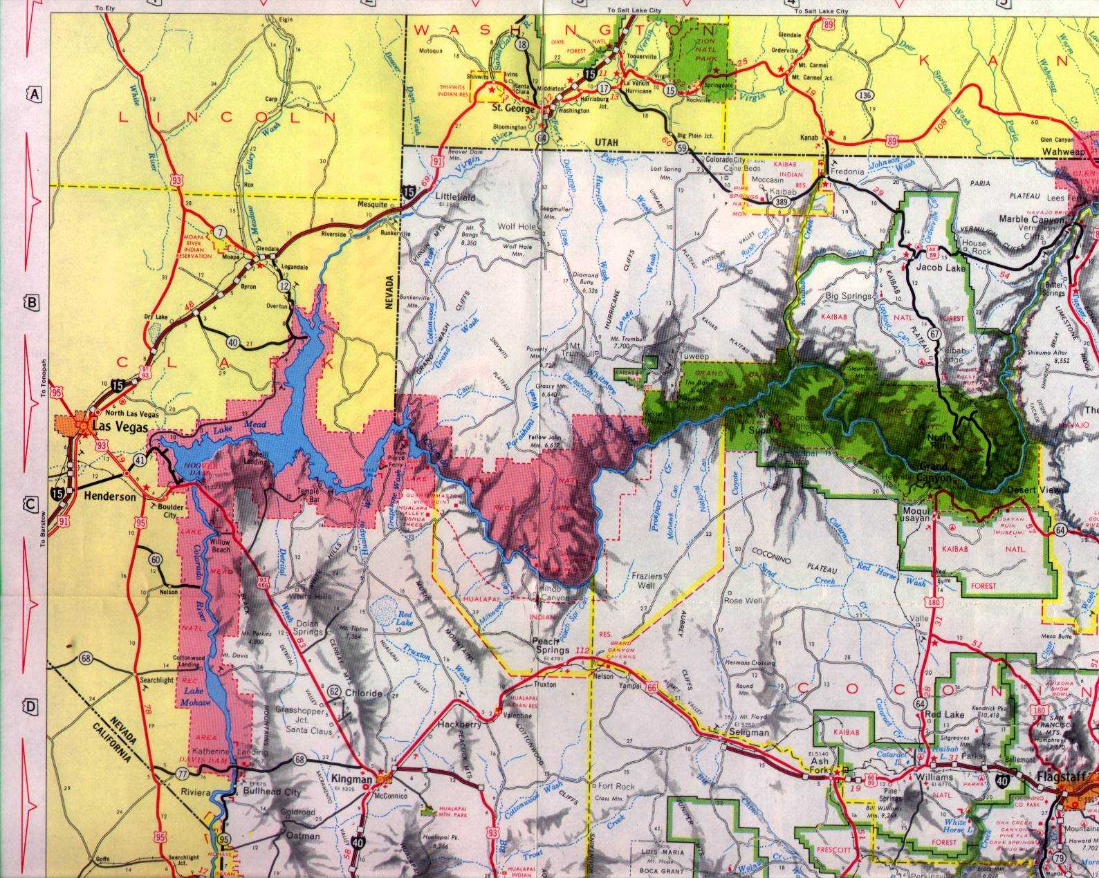
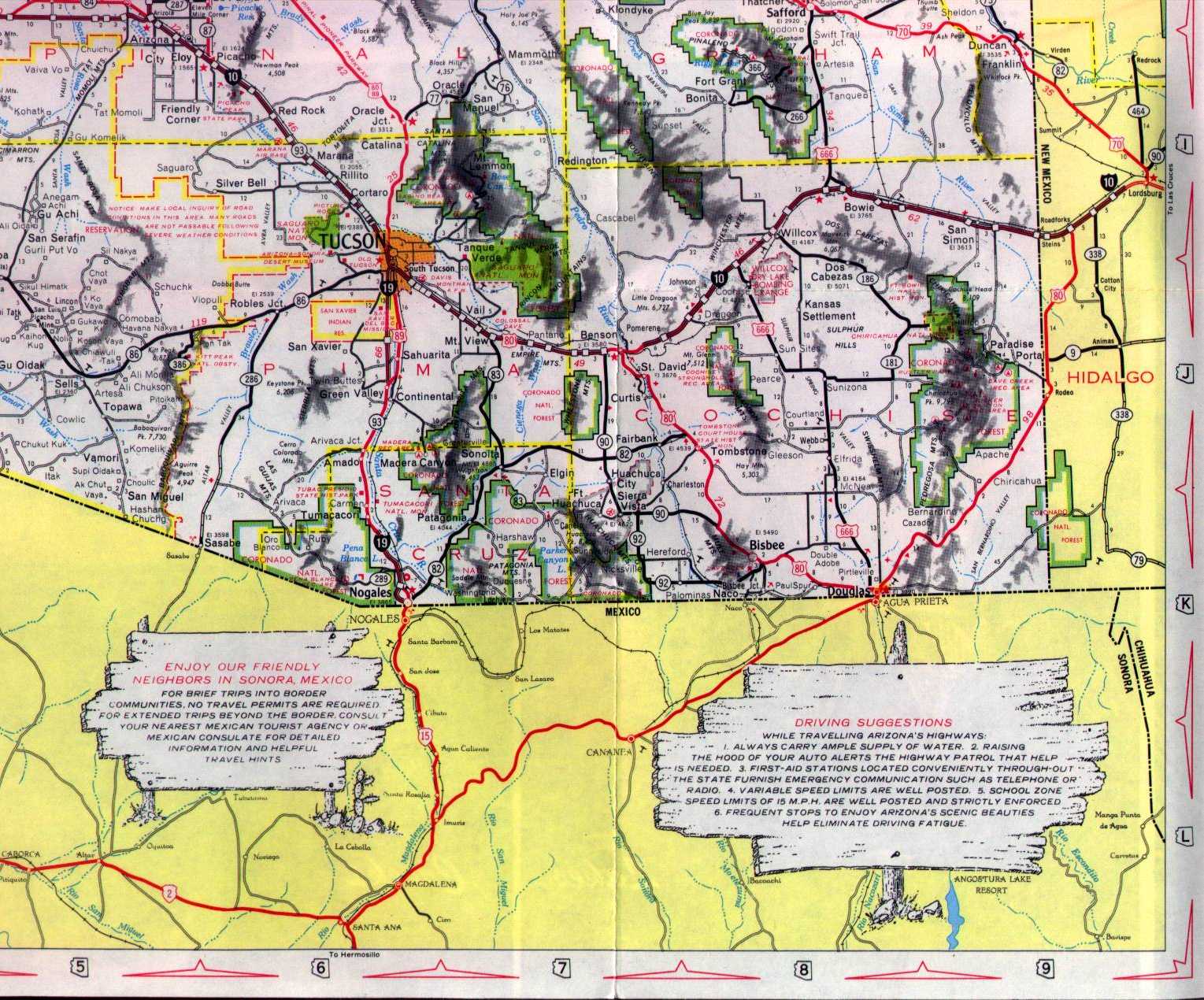
1961
 |
 |
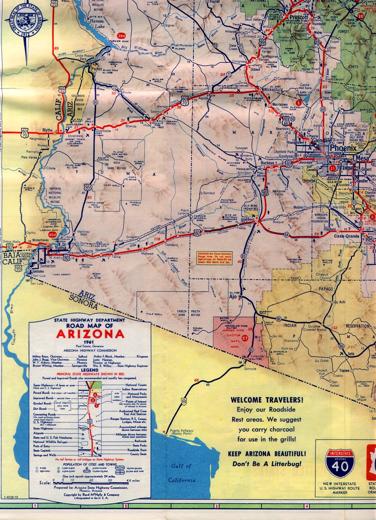 |
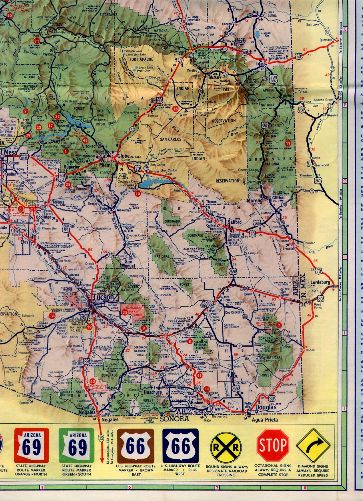 |
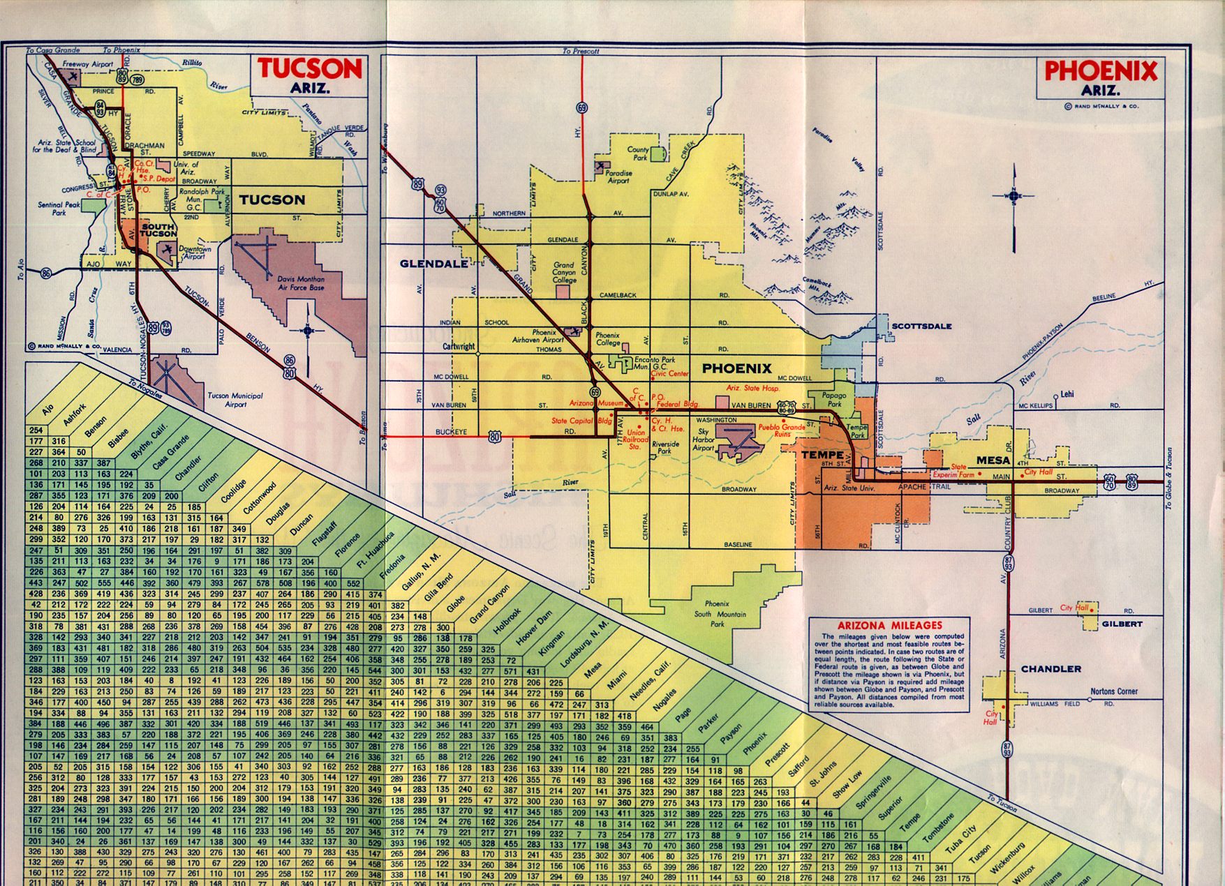 |
Each quarter is about 675K. Although the Interstate symbol is shown at the bottom, it isn't actually used on the map. By this time, the state had taken to coloring the backgrounds of markers to indicate the direction, but this didn't last long. Lake Powell isn't there yet, though the Glen Canyon Dam Site is marked.
Arizona State Highway Department map, by Rand McNally
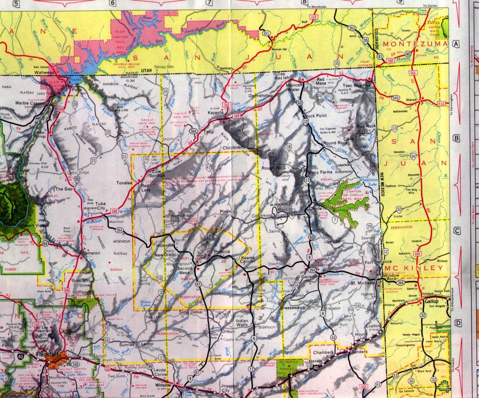
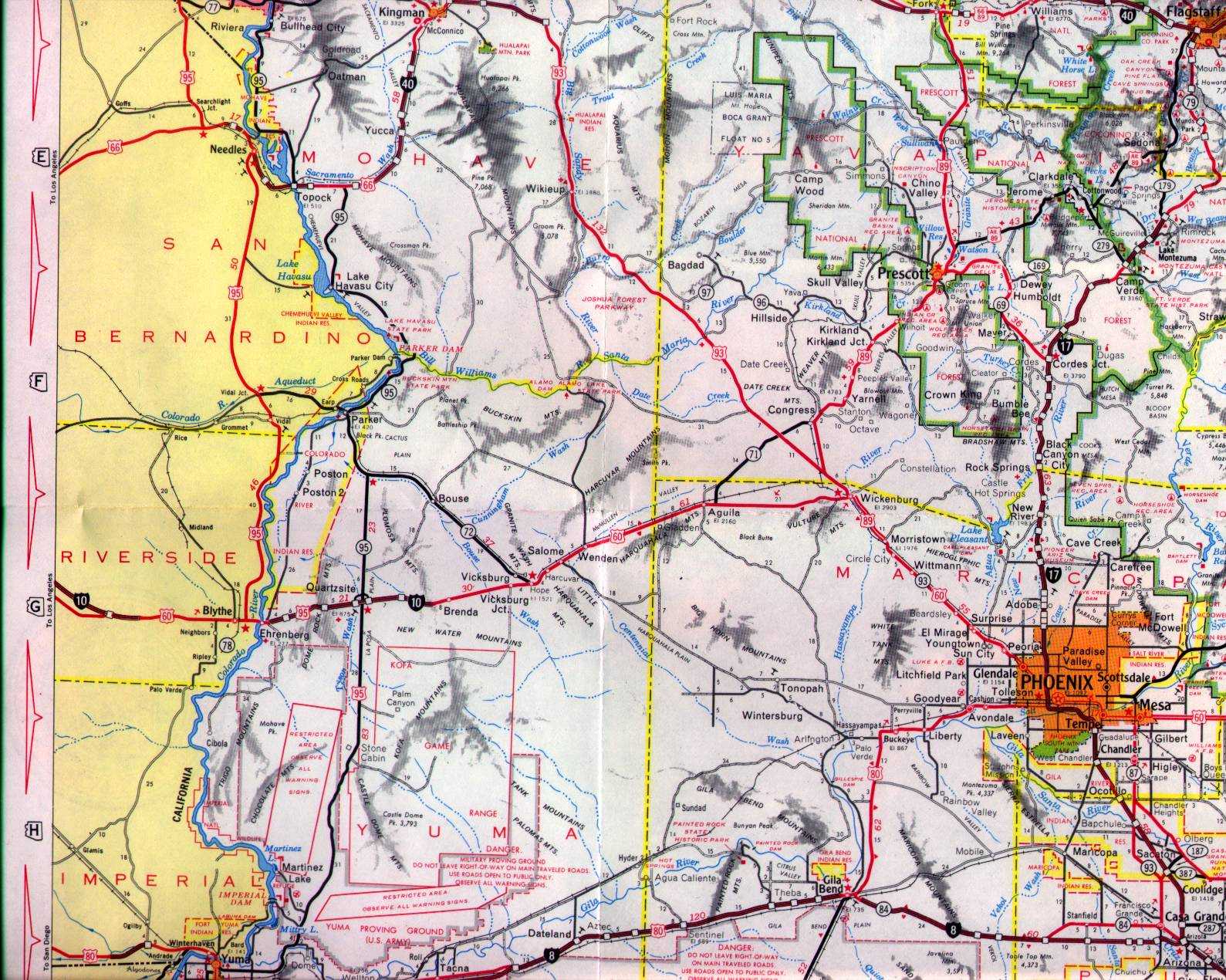
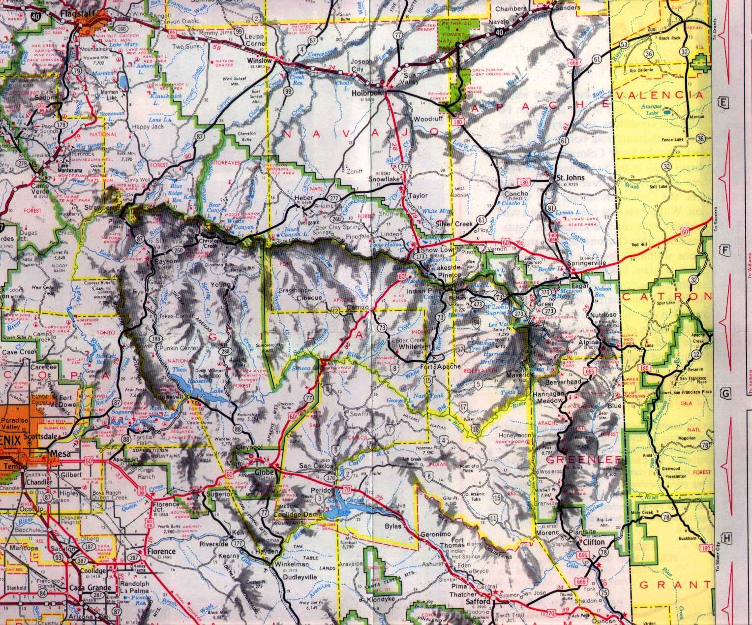
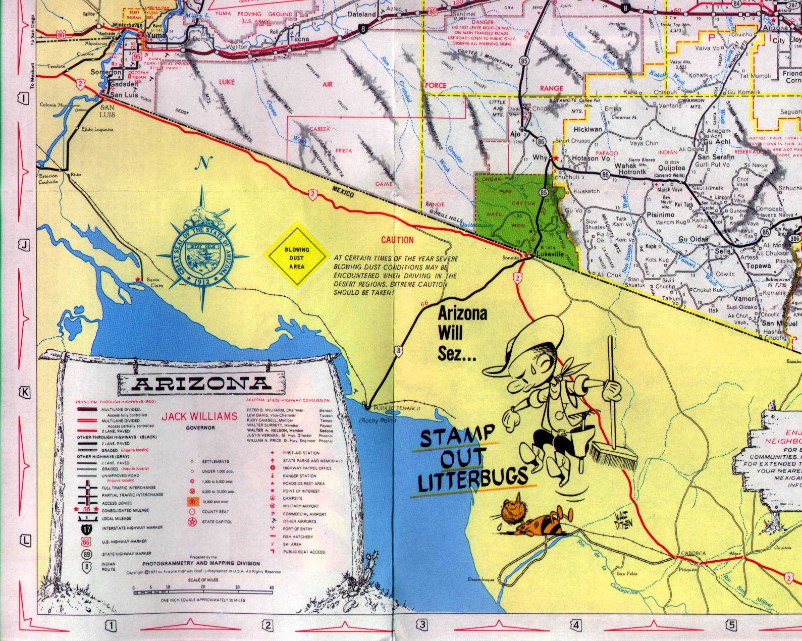
1971
 |
 |
 |
 |
 |
 |
![[Cities]](1971-7.jpg) |
Each sector is about 375K. The Interstate system is well underway. I-10 east of Phoenix is complete except for the Benson bypass, and I-8 is complete except for Gila Bend and Yuma. The biggest gaps left are the new routings of I-10 between Quartzsite and Phoenix, and I-40 between Kingman and Ash Fork.
Arizona State Highway Department map, Photogrammetry and Mapping Division
Last updated 4/1/2001