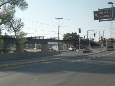
Route of old US 60/70 through Globe.
Route of old US 60/70 through Globe.
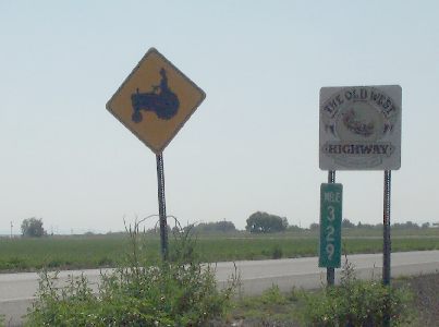
Typical view of the farmland along the Gila River. US 70 is the Old
West Highway to Lordsburg, NM.
Arizona uses reflector "button copy" for most of its signs. Here, even
the tourist information logo is done in button copy. (Safford)
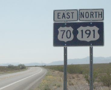
An unusual 2-in-1 marker.
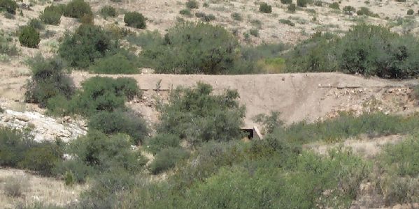
Off to the side of many of Arizona's old routes, you may see culverts
like this one. This marks the original 1930s route of the highway.
During the 1950s and 60s, all the major highways were reconstructed,
making them wider and straighter. In cases where the new alignment didn't
cover the old, the old road was left to decay.
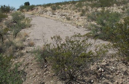
The old roads were generally paved with 2 or 3 inches of macadam.
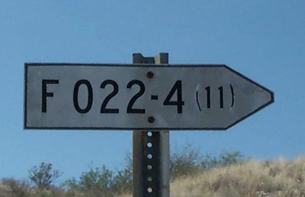
Arizona used to post signs like this to mark Federally-funded highway
project codes. Other states used concrete monuments. (I've got one
later.)
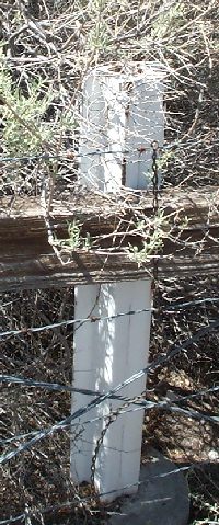
Speaking of monuments, I've noticed at other AZ/NM crossings (US 80,
US 180) a concrete post at the border. No such marker here, but there
is this metal one hiding behind a bush.
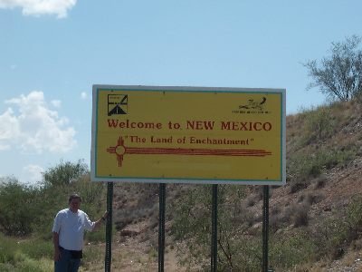
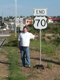
Here I am at the Land of Enchantment.
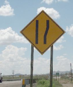
There's no official "road gets wider" sign, so the New Mexico State
Highway and Transportation Office decided to invent one.
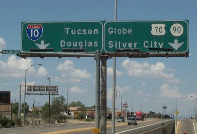
This sign at the old US 70/80 split in Lordsburg has been edited a
bit since it was originally posted. There used to be a US 80
shield next to the I-10 shield, and the Globe destination used to
read Phoenix.
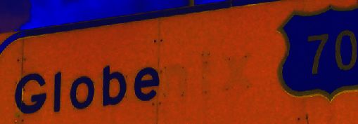
You can still see the "nix" in this false-colored picture.
You'd never know by looking at it.
Typical horizonal New Mexico signal.
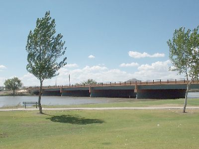
Rio Grande bridge.
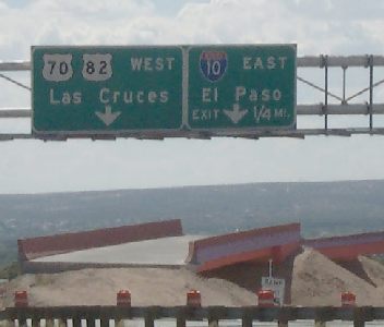
NMSHTO doesn't seem to really know where the end of US 82 is. It's supposed
to be where it meets US 70 near Alamogordo, but there are stray US 82
signs all the way to I-25.
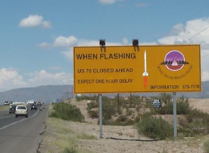
In other words, MISSILE XING.
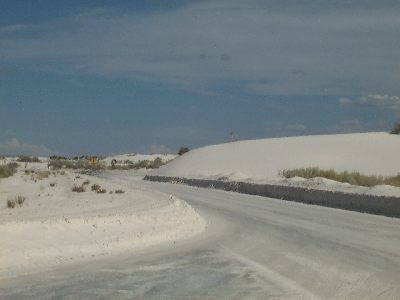
No, I didn't slip in a picture from a ski trip last winter. It's over
90° in this photo, and the white stuff is sand, not snow. But the
illusion is really strong at White Sands National Monument.
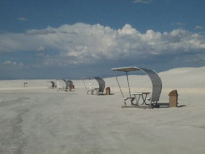
The picnic tables have canopies to protect them from the prevailing windws.
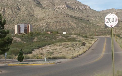
At Alamogordo, there's a space museum to commemorate all the rockets
that were tested in the area. HAL, open the pod bay doors and let's
go in.
"I'm sorry, Dave, I'm afraid I can't do that." Unfortunately
the museum had closed for the day. They do have an outdoor display, though.
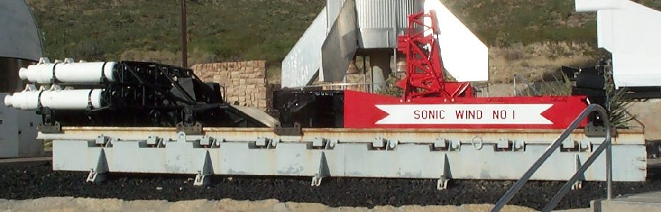
This is the rocket sled that Dr. John Paul Stapp rode at 632MPH on
12/10/1954, experiencing up to 43Gs.
Pictures for US 70 day 2
Return to US 70 day 1 text
Return to US 70
Return to Arizona Roads